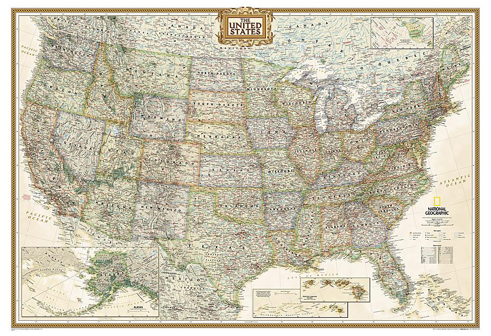
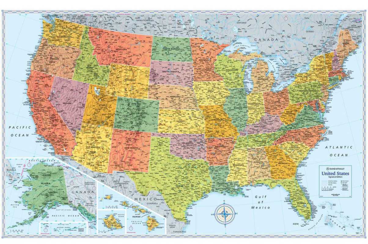
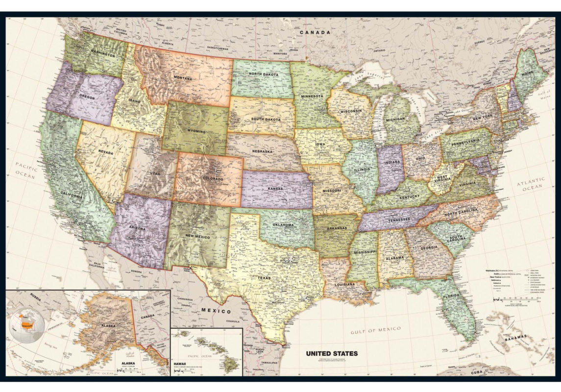
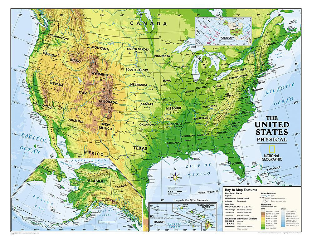
US Wall Maps offered by The Map Shop

We carry a large variety of US wall maps by National Geographic, Michelin and other fine publishers, including ourselves.   Be sure to scroll down and see all the maps on this page. And, EVERY map shown comes to you laminated at no additional charge. We also offer these laminated wall maps with  walnut-grained hanging rails on the top and bottom.  You can add those as an option in our shopping cart, . We also offer special map mounting options to use map pins on your US map. Or a US map done up as a Martin Mount to pin out all your US Travels or locations with a custom "The Travels of.." insignia.

Home World Country Continents U.S. See our Framed US Maps
Terra Grande US with multi-colored states All interstate highways are shown along with mileage figures between key points Simple US map showing major cities, rivers and mountains US Map by National Geographic in their Executive style
Terra Grande w/bold  letters

Interstate Map with state flags

Simple US Map

Executive US Map

Simple Territory Planning map, can be special ordered with state outlines only
Easy write-on wipe-off

See every county in the US with LOTS of small towns
78 by 54" Counties, Cities, Interstates

Huge US wall map with hand finished rails
This also shows our optional hand finished rails at the top and bottom

western US map
West Coast Map


Eastern United States  40 by 54"
East Coast Map

US planning map

Large US map with Counties

Our biggest US Road Map

Large interstate map for dispatching overland freight by truck showing every weigh station
Shows weigh stations too! We call this the Dispatcher's Map

Classic National Geographic US in 3 sizes and a 6 x 10 ft mural (this is the classic Nat'l Geo US) in 3 sizes and a big mural

very simple US map good for presentations and classroom use (good for classroom or business use)

Simple US Interstate map

Large US map with interstates

Nat'l Geographic US Map

 Real Simple US map

Simple US Interstate Map

Imaginative map of the US showing cartoons of major activities and sites on a regional basis Rand-McNally M-series an economical wall map Michelin US highway map 40_x_50

Children's US Map

Rand-McNally M Series

  US Map by Imus (Nat'l Award!)

Michelin US Map

Unique Media Illustrated US map Rand USA wall map with an antique look
Classic US Rand-McNally Map
3 digit zip code map of the US in black and white showing every county too  
Uniquely illustrated US Map  

US Zip Code map

 
Large US wall map with muted mulit-colored states Raised Relief Map of the US Brightly colored map on Tyvek Shaded relief of the whole lower 48 states
Large US w/muted colors

Raised Relief US Map

 large US map on Tyvek

Shows physical features
Simple US map for kids with illustrations Great map of the US with Rails included
 This map comes standard with rails
National Geo Decorator Series North America by National Geographic
Simple US for Children (Rand)

Inexpensive US Map with Rails

Nat'l Geographic Decorator Series

National Geographic North America in 2 sizes
 Wall map home pageGet some colored pins for your map[See what is in your shopping cart]wall map questionsFeedback about wall mapssearch the text in our site


 Call us at 800-532-6675 and we can surely find or make the map to fit your needs. or  Send us an inquiry   Send mail to mapguy at mapshop.com (please replace the "at" and spaces with the @ symbol) with questions or comments about this web site.