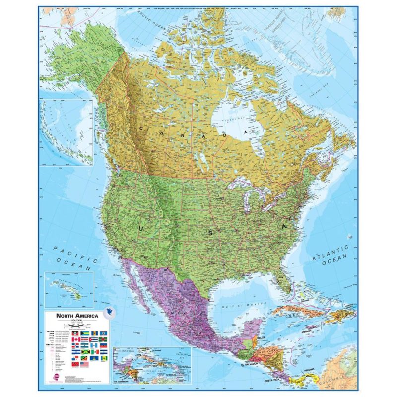
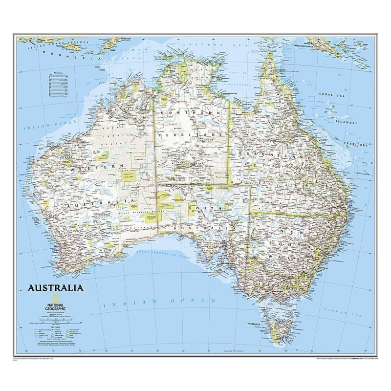
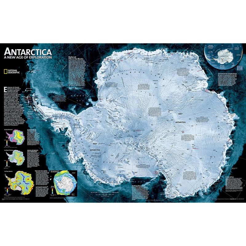
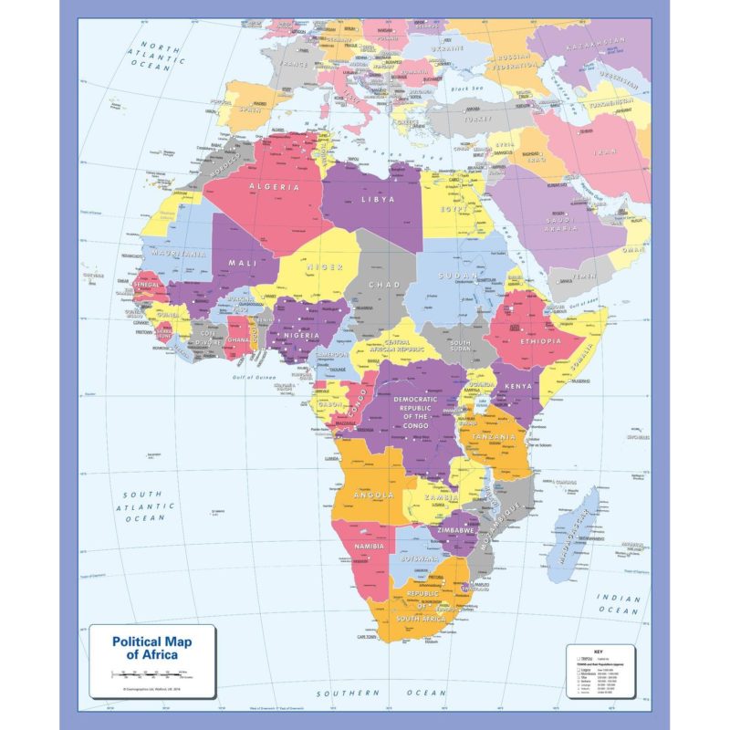
Continent and World Regional Maps 
World Country Continents United States States

We carry a large variety of wall maps of every continent and world region,. We also offer our laminated wall maps with walnut-grained rails on the top and bottom. This is an option you can choose in our shopping cart. You don't have to add lamination. It is already included on all these maps. You will see one column for each continent and a different mapmaker in each of the first 4 rows. National Geographic maps are hard to beat, so that's why they are in the first row. But all the others have their own strengths too. Just click one of these maps to view and compare using the big pictures we provide. Then order the map on our shopping cart system found below each overview.   See just World Regional maps

 Wall map home pageGet some colored pins for your map[See what is in your shopping cart]wall map questionsFeedback about wall mapssearch the text in our site
National Geographic's Map of Africa National Geographic's North America National Geographic's South America National Geographic's Europe National Geographic's Asia Australia by National Geographic National Geo's Antarctica
National Geographic's Explorer Series
Africa

North America

South America

Europe Asia

Australia

Antarctica
Maps International map of Africa Maps International map of North America Maps International map of South America Maps International map of Europe Maps International map of Asia Maps International map of Africa Maps International map of Antarctica
 Africa Map

North America

South America

Europe by Maps Intl

Asia by Maps Intl

Australia Map 

Antarctica
National Geo map of Africa with an antique look

not yet

National Geographic South America Map with an antique look

antique Europe map

National geographic Asia map with an antique look National Geographic antique map of Australia  
Africa Antique Map   South America Antique Map Antique Europe Asia Antique Map Australia Antique Map  
WORLD REGIONS
maps of every significant island in the Pacific Map of the Pacific Ocean map of Greenland beautiful wall map of the Carribean National Geographic's map of Central America Smaller Middle East Map large (68 by 86 inches) western hemisphere map
Pacific Islands

Pacific Ocean

Greenland Map

Caribbean Map

Central America

Small Middle East Map

Western Hemisphere  (large)

Pacific Ocean map with Pearl Harbor Commemorative includes Pearl Harbor Commemorative Mexico and Central America together on one map detailed map of the Eastern Med from Turkey to Egypt West Indies and the Caribbean

National Geographic's map of the Americas

Enlarged Middle East Map
Pacific Ocean

Mexico and Central America

Eastern Mediterranean

West Indies

North&South America 

Large Middle East Map

Asia Australia and the Western Pacific

 Send mail to mapguy at mapshop.com (please replace the "at" and spaces with the @ symbol) with questions or comments about this web site.